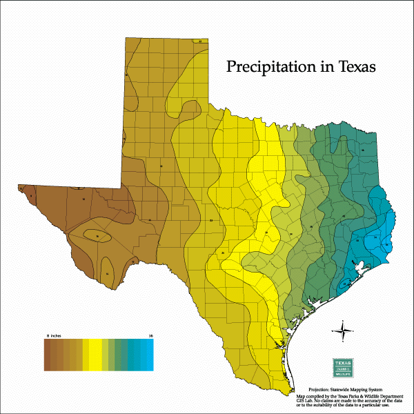
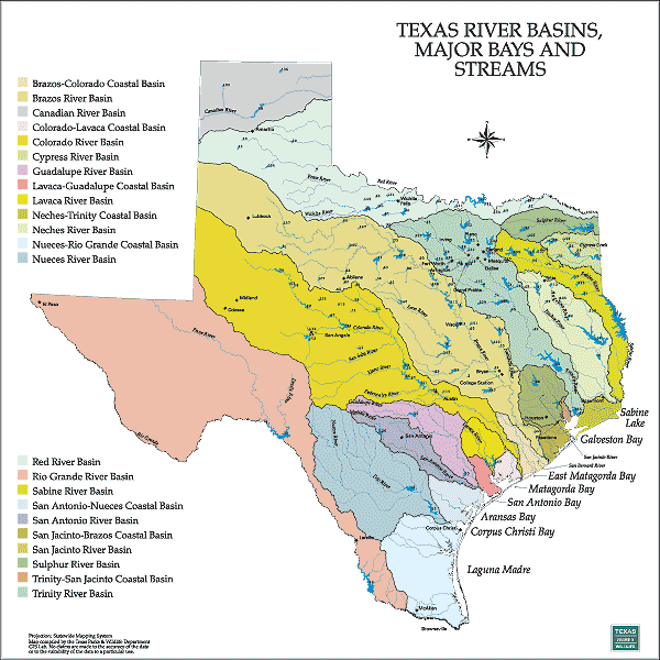
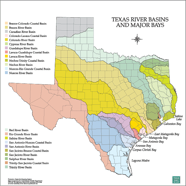
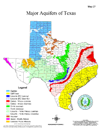
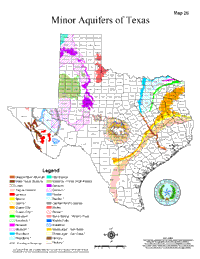
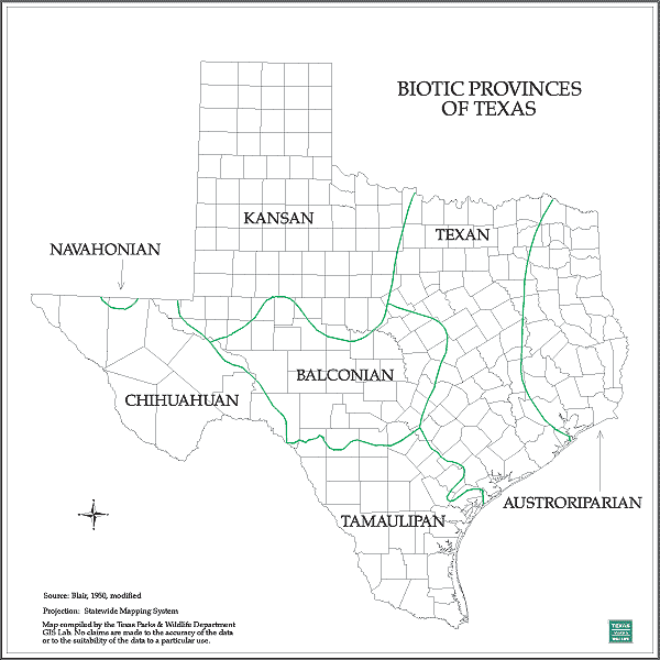
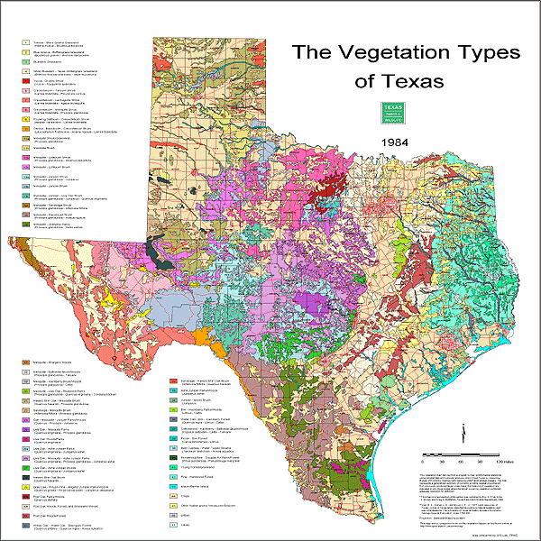
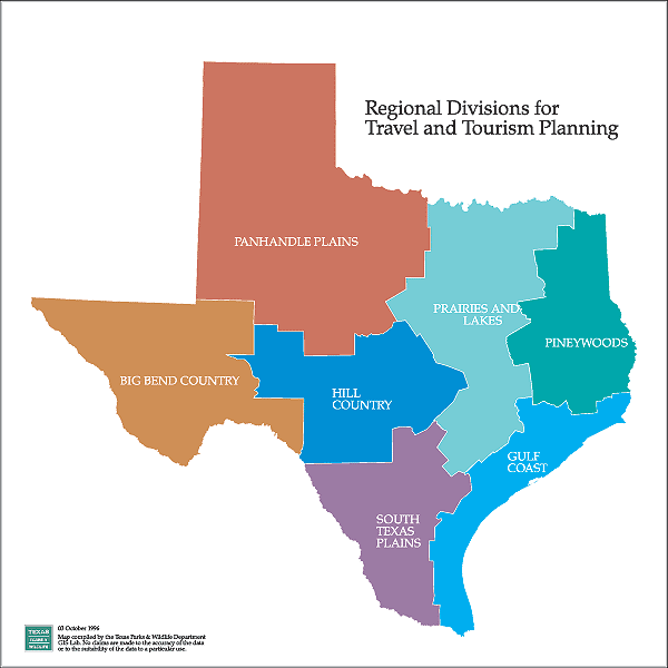
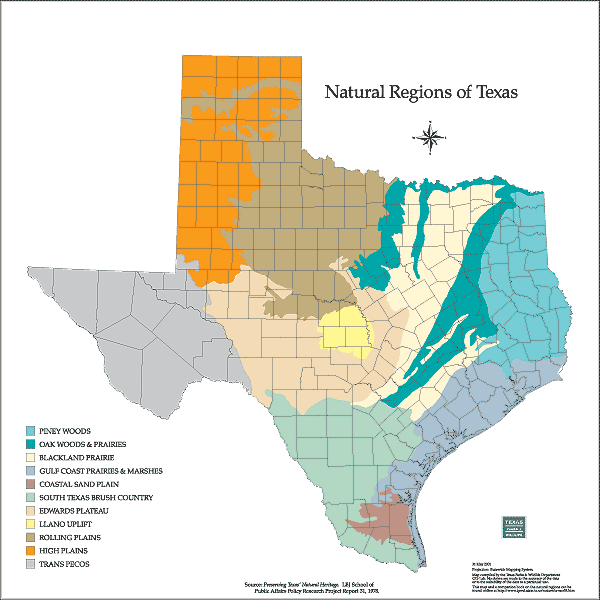
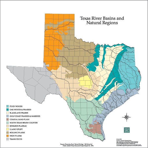
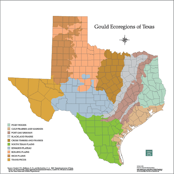
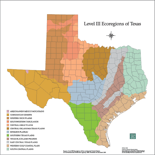
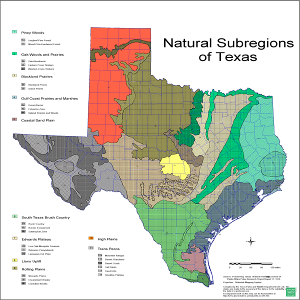
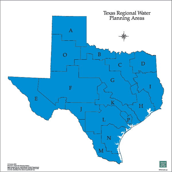
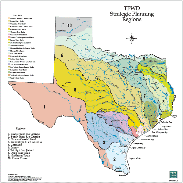
Texas The State Of Water

State Water IssuesRegional Water IssuesTeaching ToolsLibraryMedia RoomTake ActionWeb Links

Maps

These are samples of maps from the Texas Parks and Wildlife GIS Lab. They are available on this cd rom for educational use. Many of these maps can be created using files from the online Data Downloads section of the Texas Parks and Wildlife Web site. Most of the maps are square (8 x 8 or 24 x 24 inches). Adobe Acrobat Reader is required to view these files.

Additional maps are available from the Texas Water Development Board.

Texas Rainfall
Texas Rainfall
8 in.; 24 in
Texas Rivers, Reservoirs (numbered) and Major Bays with County Names
Rivers, Reservoirs and Major Bays
8 in.; 24 in.
Texas River Basins in color with Streams
River Basins and Streams (color)
8 in.; 24 in.
Texas River Basins in color with county outlines
River Basins (color)
8 in.; 24 in.

with County Names (color)
8 in.; 24 in.

River Basins (b/w)
8 in.; 24 in.

Major Aquifers

(one size only)

Minor Aquifers

(one size only)
Biotic Provinces of Texas - named with county outlines
Biotic Provinces of Texas
8 in.; 24 in.
The Vegetation Types of Texas
Vegetation Types
8 in.; 24 in.

Vegetation Types
without county or road lines
8 in.; 24 in.

TPWD Travel Regions
TPWD Travel Regions
8 in.; 24 in.
Texas Natural Regions
Natural Regions
8 in.; 24 in.

Natural Regions (b/w)
for coloring
8 in.; 24 in.

Natural Regions (b/w)
Numbered
8 in.; 24 in.
Texas Natural Regions with County Outlines
Natural Regions
with County Outlines
8 in.; 24 in.

Natural Regions
with County Names
8 in.; 24 in.

Texas Natural Regions with River Basins
Natural Regions
with River Basins
8 in.; 24 in.
Gould Ecoregions of Texas with County Outlines
Gould Ecoregions
8 in.; 24 in.

Gould Ecoregions with County Outlines
8 in.; 24 in.

Gould Ecoregions with County Names
8 in.; 24 in.
Level III Ecoregions of Texas with County Outlines
Level III Ecoregions
8 in.; 24 in.

Level III Ecoregions
with County Outlines
8 in.; 24 in.

Level III Ecoregions
with County Names
8 in.; 24 in.

Texas Natural Subregions with numbered regions, in color
Natural Subregions
8 in.; 24 in.

Natural Subregions (b/w) - for coloring
8 in.; 24 in.

Texas Regional Water Planning Areas
Water Planning Regions
8 in.; 24 in.
TPWD Strategic Planning Regions
8 in.; 24 in.
Texas Counties with black text
Texas Counties
8 in.; 24 in.

Texas County Outlines
8 in.; 24 in.

Texas Counties (gray text)
8 in.; 24 in.

[top]